In business and life, why, how and what you do matters. Discover more about what drives Near Space Labs and how we unlock new opportunities to transform the industry.
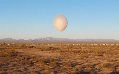
FAQ: Everything You Need to Know About High-Altitude Balloons
Learn about the history of balloons, their many applications, and how they compare to other traditional earth observation methods ...
The Democratization of High-Quality Earth Imagery in the Face of Climate Change
The view of 2022 from Near Space was one dominated by the ongoing challenges connected to climate change and natural disasters and the...
Near Space Labs’ Imagery Helps P&C Insurers Refine Underwriting and Accelerate Claims
Property and casualty insurance companies with large portfolios of residential and/or commercial buildings face challenges in staying...
How Highly Refreshed Geospatial Data is Empowering Better Business Decisions and Solutions
Companies are increasing situational awareness, enhancing models, and maximizing ROI with Near Space Labs' 90-day refreshed imagery ...
Building a Diverse, Equitable, and Inclusive Culture at Near Space Labs
We are creating a company that encourages growth, self-expression, and respect for all people In 2017, Near Space Labs’...
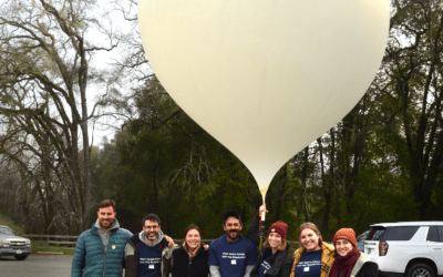
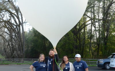
A Day in the Life Launching Swifty Balloons on the Near Space Labs Flight Operations Team
Get an inside scoop from our flight operations team about their most rewarding missions and what launching a Swifty truly entails ...
Near Space Labs Launches Imagery Grant Program to Unlock Free Access to its Ultra-High Resolution Imagery for Nonprofits, Researchers and Universities
Company Seeks to Empower Individuals and Organizations to Create Meaningful Change Through High-Resolution and High-Recency Earth Imagery ...
University Student Builds Road Detection Model for Thesis Project with Near Space Labs’ Data
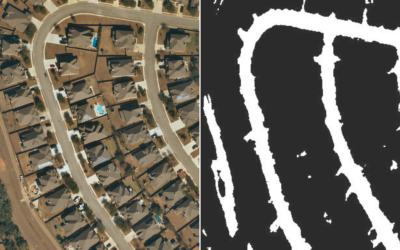
How ultra high-resolution geospatial data powers deep learning models to build scalable solutions At the start of March 2022,...
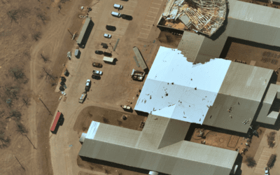
Top Five Ways Near Space Labs is Driving Insights For Post-Catastrophe Efforts
Remote sensing via stratospheric Swifty robots are empowering more prepared, resilient, and sustainable communities Climate change...
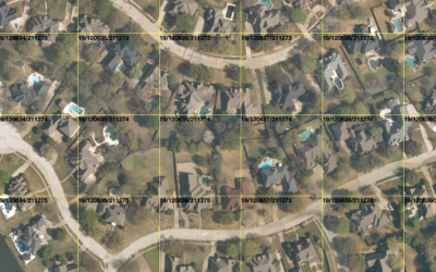
Access High-Resolution Orthomosaic Imagery with Near Space Labs’ New Tile Service
Easily download 10 cm orthomosaics of the most populous cities refreshed every 90 days Near Space Labs now offers 10 cm resolution...
How Near Space Labs Compares to Satellite, Aerial, and Drone Earth Imaging
Balloon technology is broadening access to high-quality Earth imagery faster than satellites, airplanes, and drones Near Space Labs...
Near Space Labs’ High-Frequency, High-Resolution Imagery for Insurance Renewals
Review highly updated property imagery to make more efficient and profitable updates to renewals policies. When it’s time for an...
Subscribe to our blog
Be the first to know about Near Space Labs news and product updates.
