intelligence,
at scale.

Accurate geospatial data matters more than ever
Severe weather events are more frequent. Infrastructure is aging. Ecosystems are shifting. And the discrepancy keeps growing between what the planet looks like and what legacy data shows.
Frequent, high-resolution imagery isn't a nice-to-have. It's the foundation for smarter operations and better decisions.

What We Do
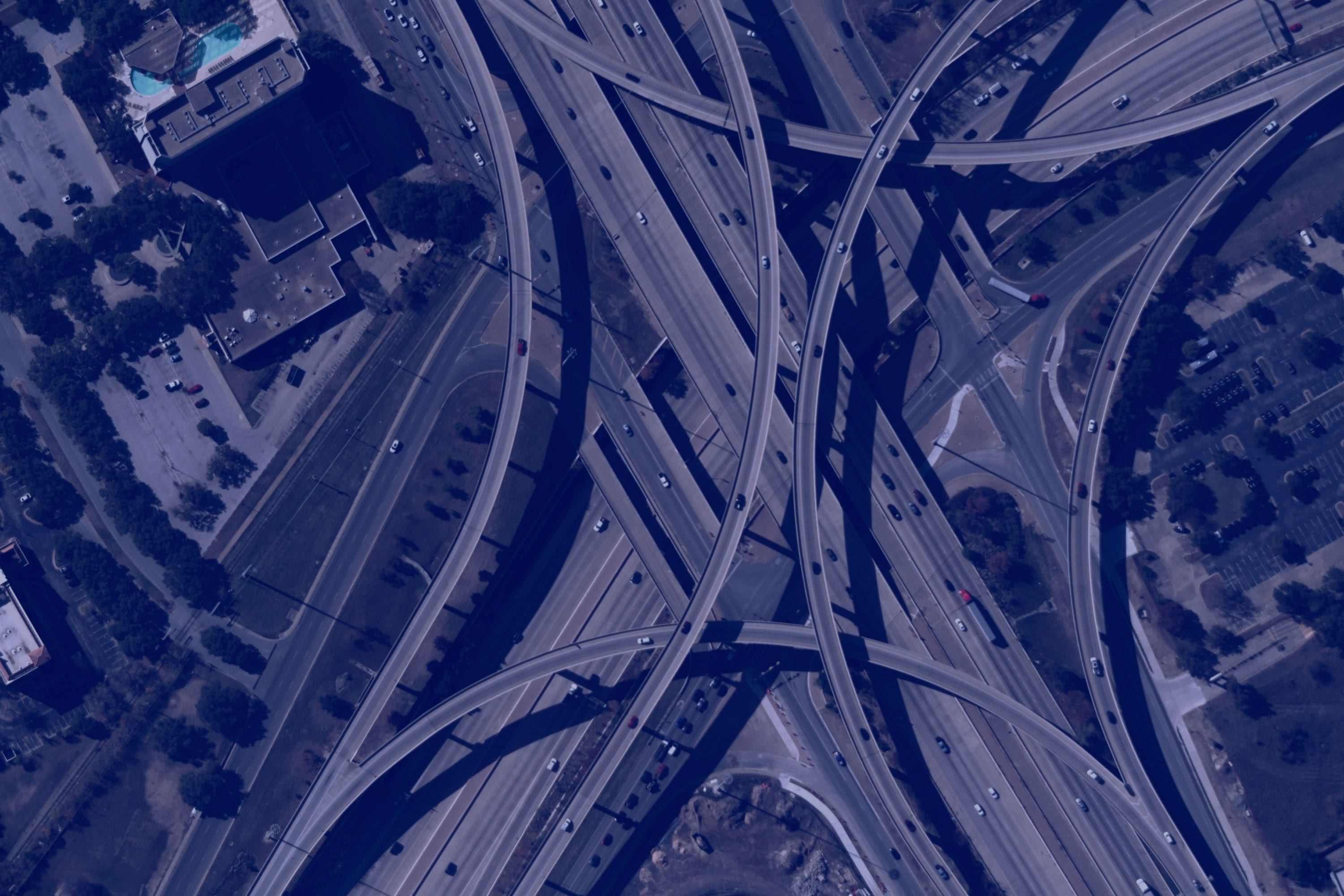
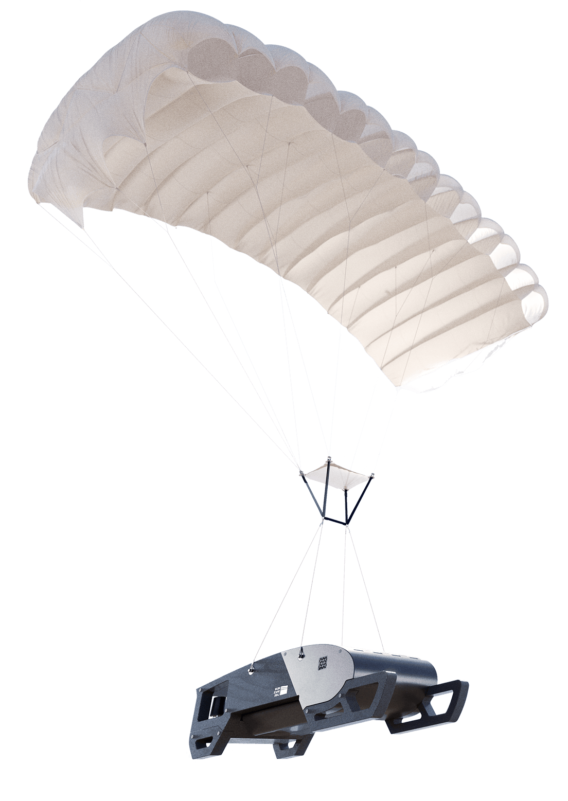
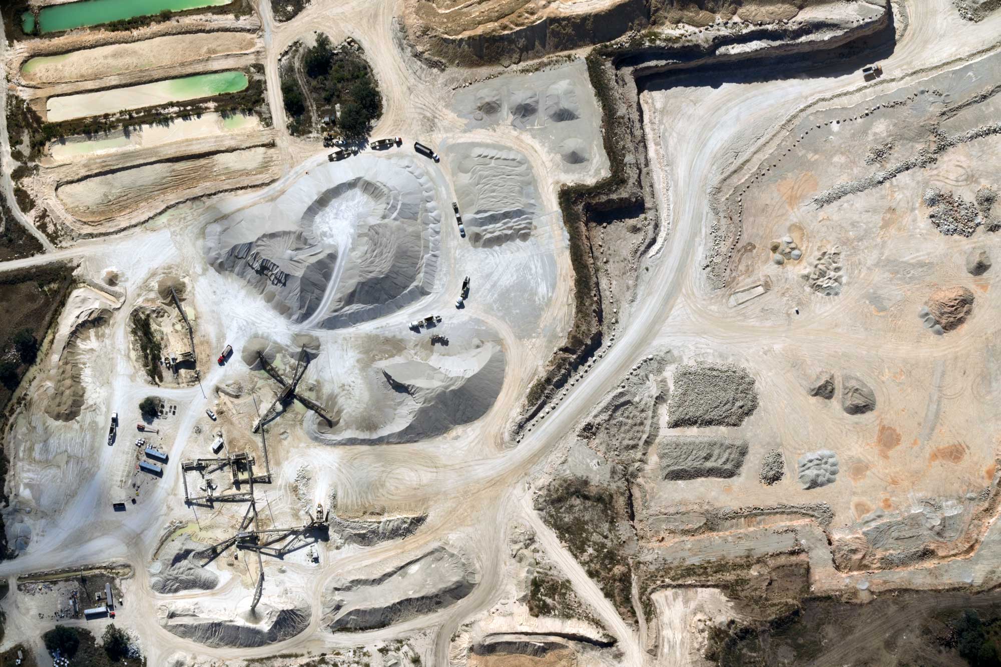
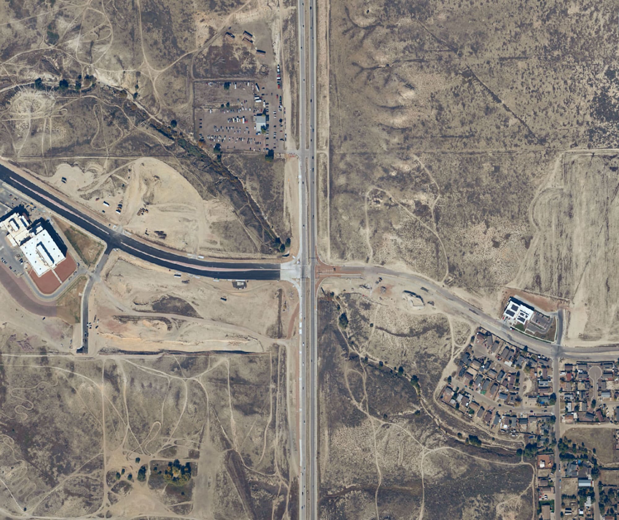
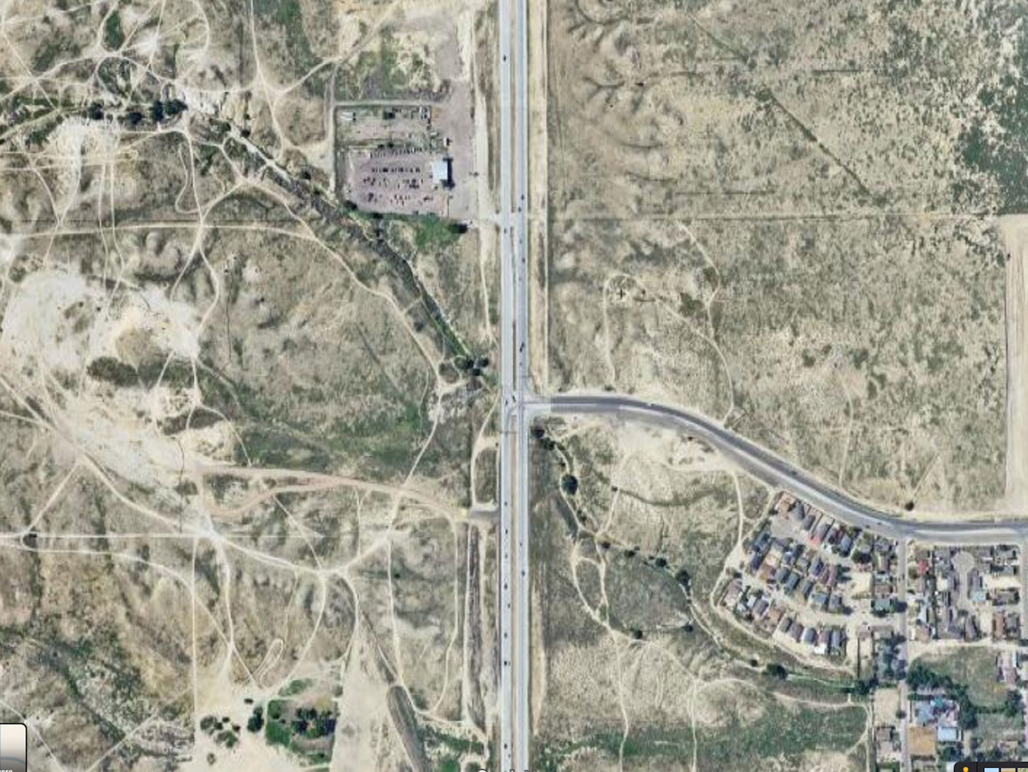
Near Space Labs delivers high-resolution, 7cm orthoimagery at scale through our proprietary, stratospheric data capture platform.
We serve use cases where current and accurate data is essential to risk mitigation, decision-making, and business continuity. From State and Local Government to Utilities, Forestry, Insurance, Roofing — and beyond.
Legacy geospatial programs force false choices: trade high resolution for complete coverage, or trade frequency for cost effectiveness.
Near Space Labs delivers all four, with no tradeoffs.
Earth imagery and data without tradeoffs
High Resolution
Every image captured at 7cm resolution, no exceptions. No compromises in small or rural areas.
High Frequency
Data refreshed with unprecedented frequency (our schedule or yours). Because decisions made on 18-month-old imagery aren't decisions, they're guesses.
Wide-Scale Capture
Entire states or regions covered in a single program. The scale to monitor what matters, without patching together multiple data products or vendors.
Cost Effectiveness
High-altitude operations for maximum data capture. The efficiency to cover large areas with fewer flights — and no compromises on resolution.
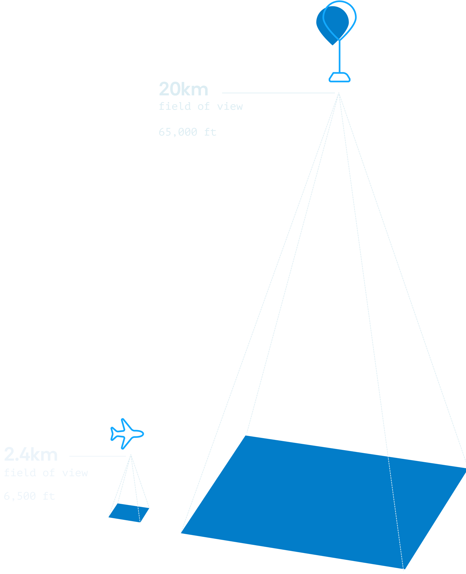
The stratospheric advantage
By operating 2-4x higher than traditional solutions, Near Space Labs captures 10x the data — while still leading the industry in resolution.
Learn More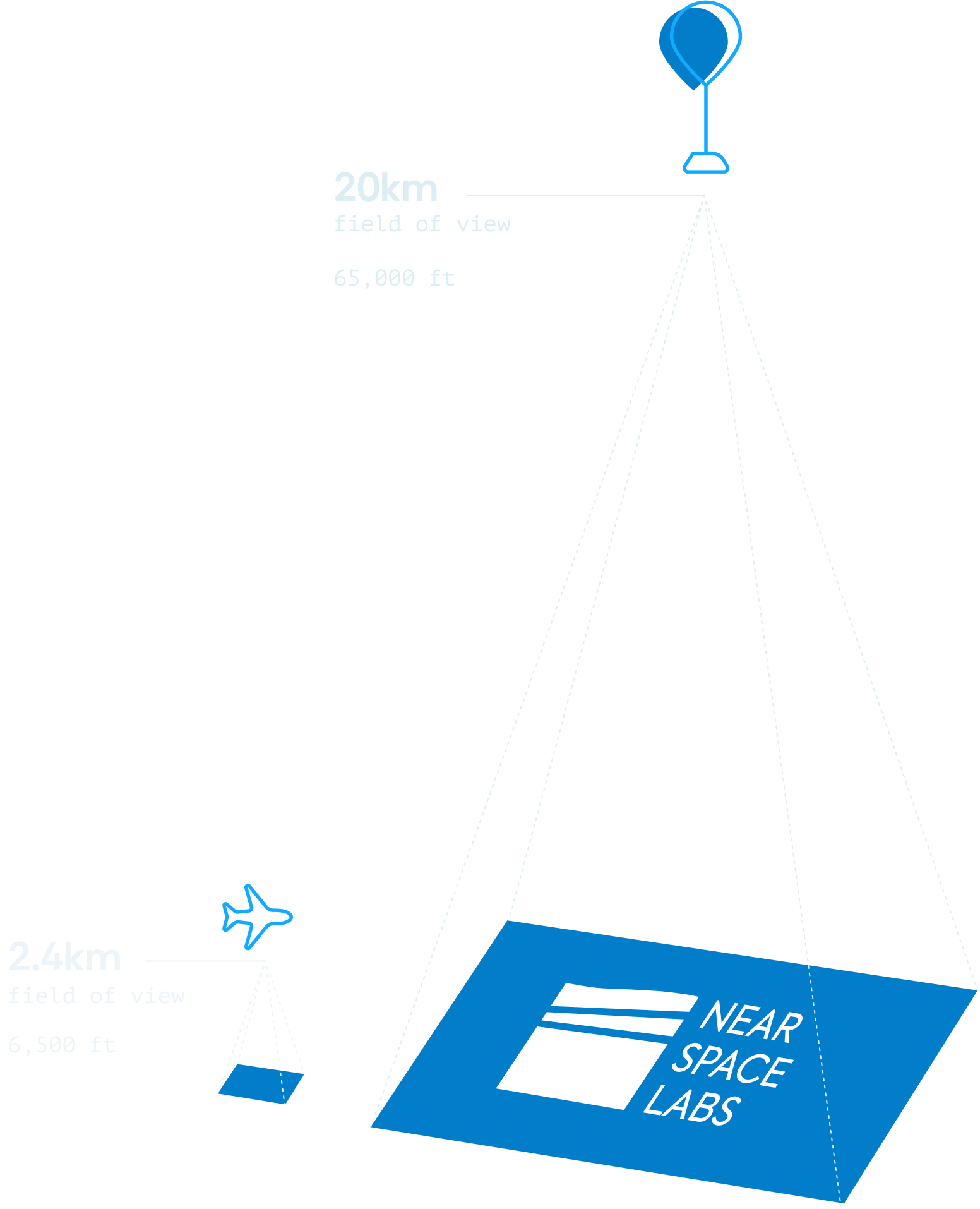
Accurate, high-resolution imagery for every scale and application
Industries We Serve
.jpg)
P&C Insurance
High-resolution imagery refreshed twice a year gives underwriters the clarity and confidence to price policies accurately.
State & Local Government
Frequent, high-resolution imagery updates that fit your budget, so your teams always have the data they need.
Mapping Technology
Consistent 7cm imagery, delivered on a predictable schedule, gives your products the resolution and coverage they need to stay current.
Energy & Utilities
7cm resolution imagery supports asset inspection, enhanced vegetation management, and long-term system planning across your entire network.
Forestry & Environment
Monitor forest health, map biodiversity, verify carbon offset claims, and manage wildfire exposure with consistent, high-resolution environmental data.
Roofing & Home Services
Frequent imagery refreshes give your teams the most current view of every property, so you can identify opportunities before the competition does.