by Near Space Labs | Aug 26, 2022 | Blog
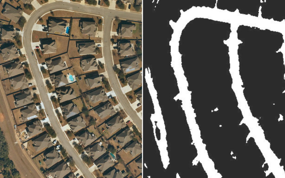
How ultra high-resolution geospatial data powers deep learning models to build scalable solutions At the start of March 2022, Pompeu Fabra University student, Maria Alba, began to develop her thesis on how to build a road detection model using geospatial data....
by Near Space Labs | Aug 24, 2022 | Blog
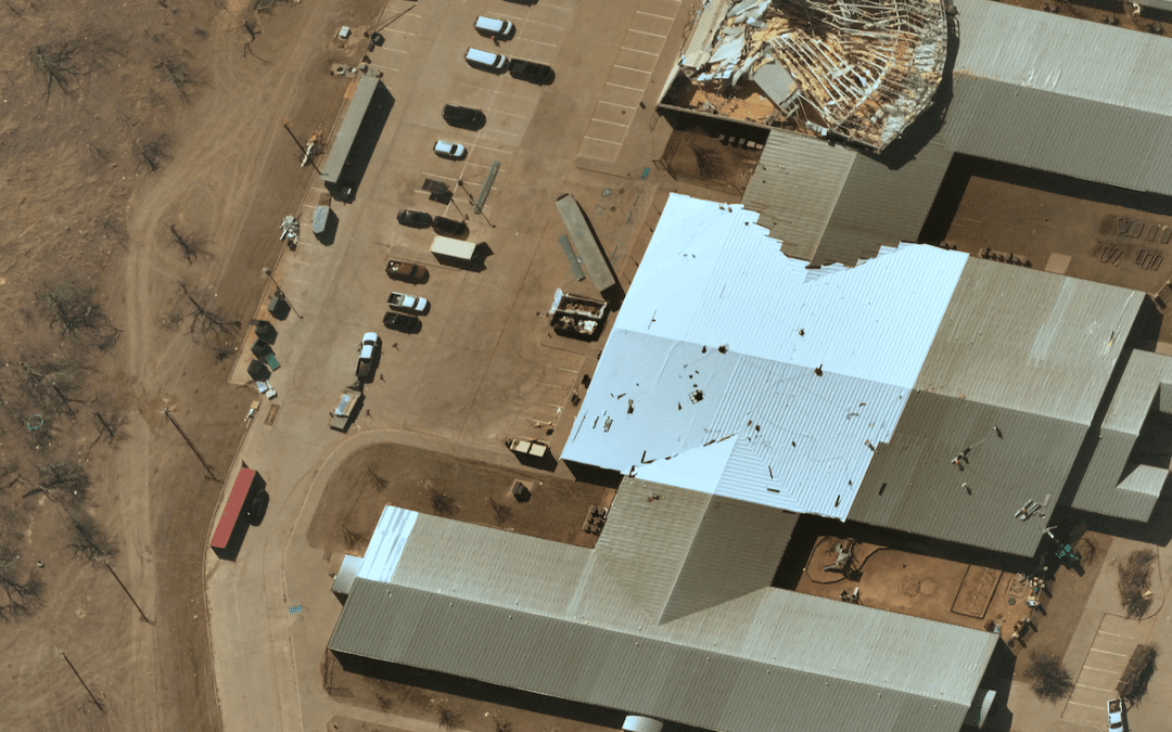
Remote sensing via stratospheric Swifty robots are empowering more prepared, resilient, and sustainable communities Climate change and the impact of growing populations on the planet has caused an increase in catastrophes worldwide. And as communities grow and...
by Near Space Labs | Aug 16, 2022 | Blog
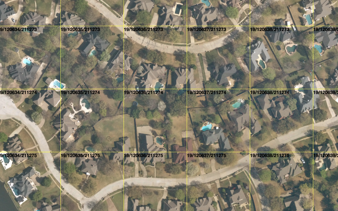
Easily download 10 cm orthomosaics of the most populous cities refreshed every 90 days Near Space Labs now offers 10 cm resolution orthomosaics through our new XYZ Tile Service. We are offering this method of delivery to further simplify accessing high-quality...
by Near Space Labs | Aug 10, 2022 | Blog
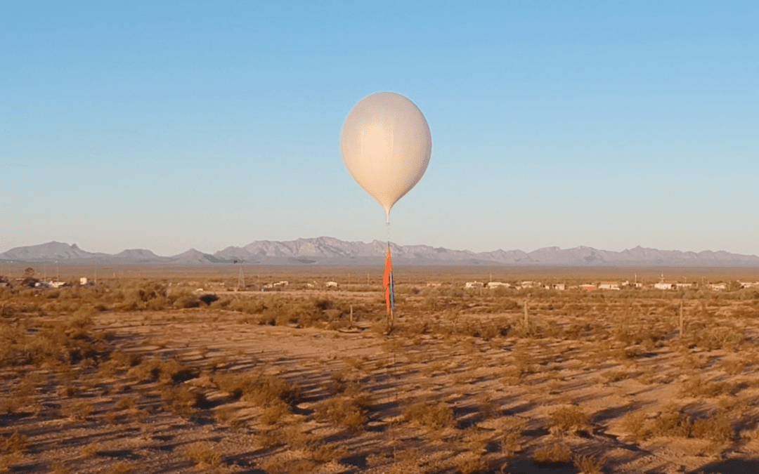
Balloon technology is broadening access to high-quality Earth imagery faster than satellites, airplanes, and drones Near Space Labs was founded with the mission of maximizing the impact problem solvers and innovators can make around global challenges. Our...
by Near Space Labs | Jul 25, 2022 | Blog
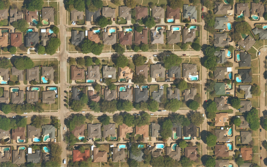
Review highly updated property imagery to make more efficient and profitable updates to renewals policies. When it’s time for an insurance policy to be renewed, high-quality and updated imagery is key to understanding how a property has changed since the...
by Near Space Labs | Jul 25, 2022 | Blog
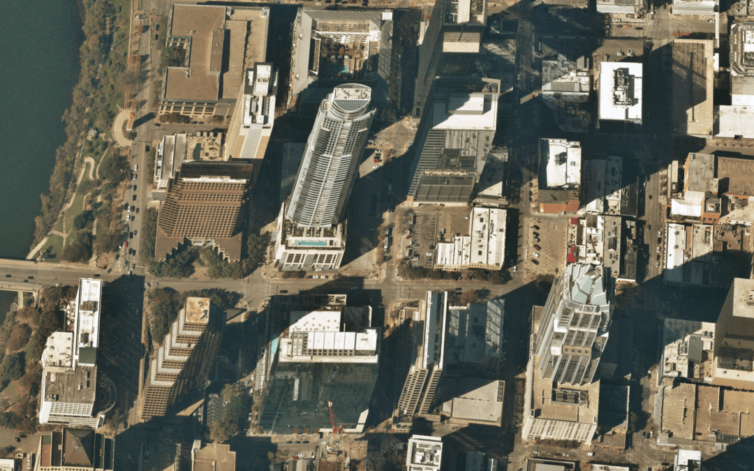
How high-quality geospatial data and Earth imagery is enhancing digital and smart cities As governments, technology consultants, and sustainability firms are digitizing cities around the world, they require high-quality data to map out areas, define algorithms,...


