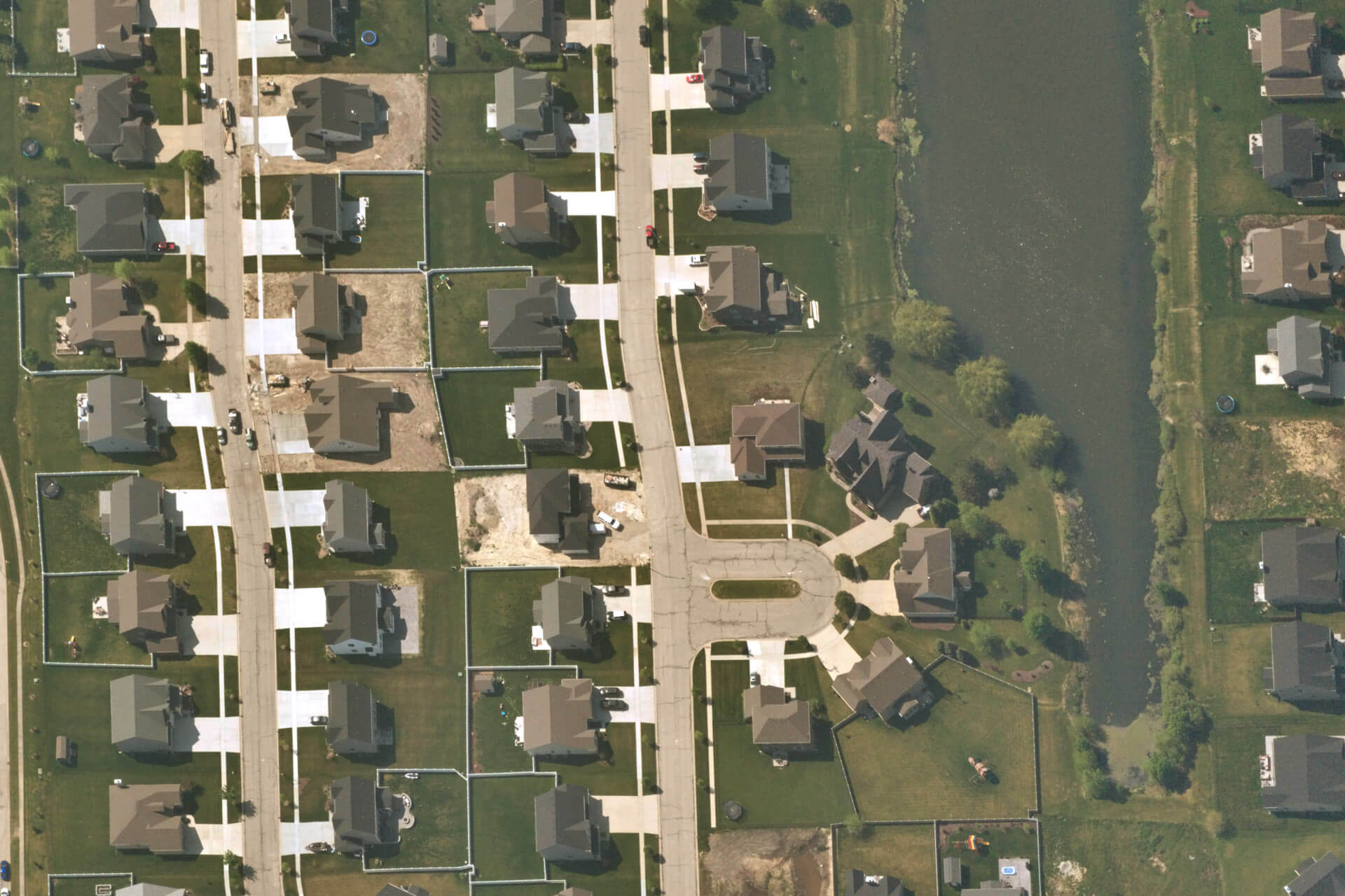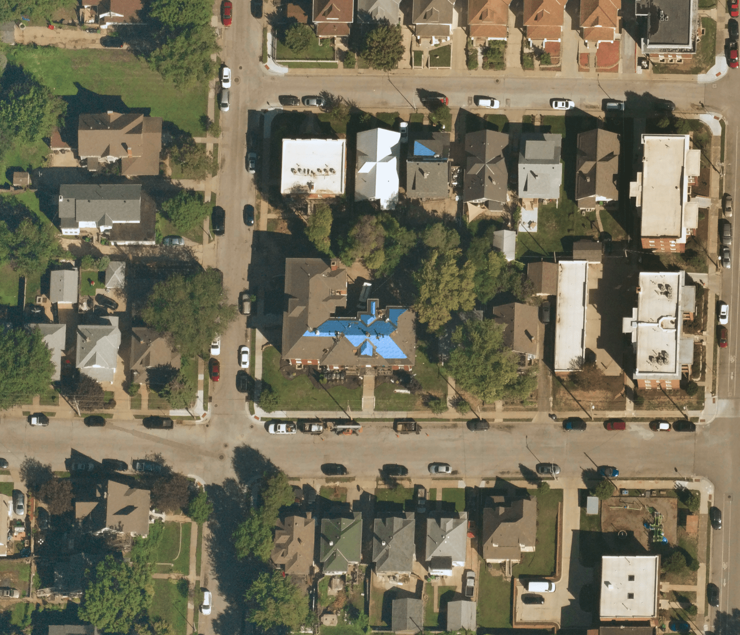
Insurance
Mitigate risk and unlock new market potential. Validate and accelerate claims processing. Improve competitiveness.
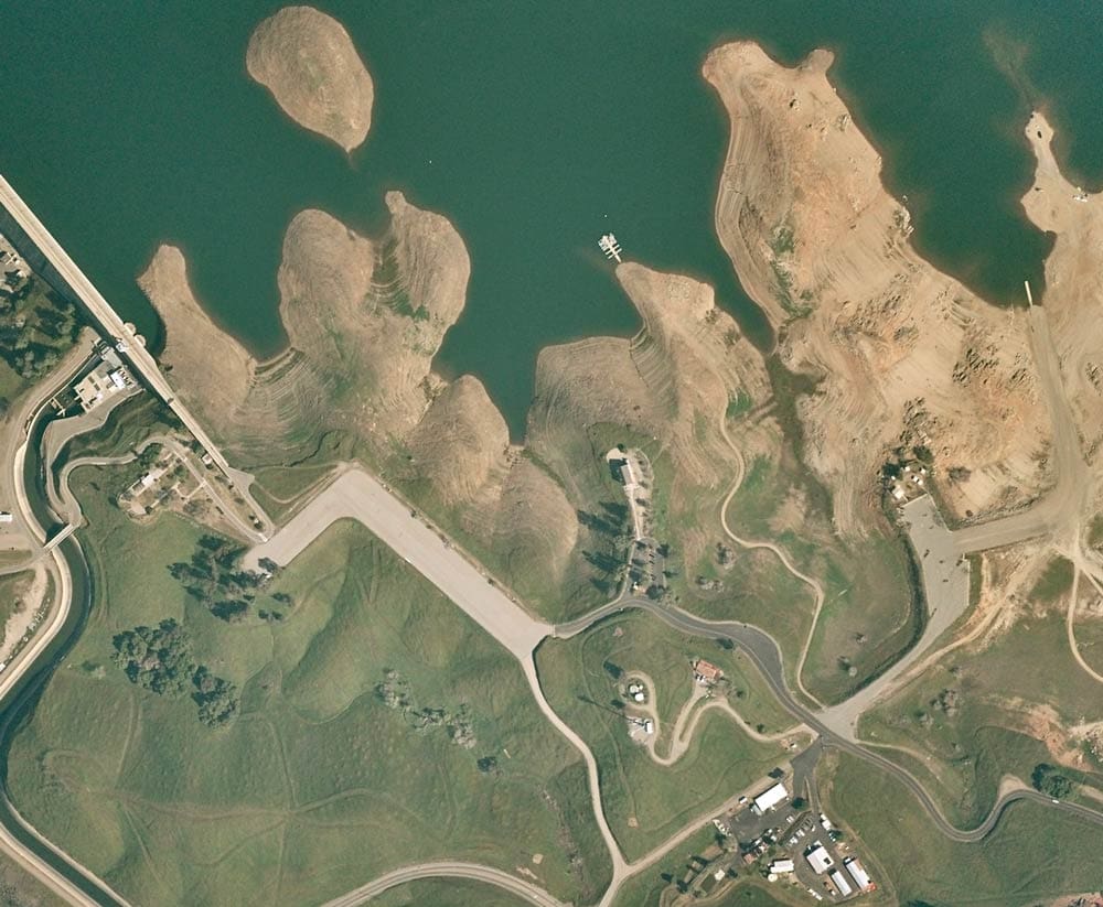
Conservation
Monitor hard-to-reach, remote areas with ease. Identify and track change around deforestation, easement properties, and crop yields. Survey land.
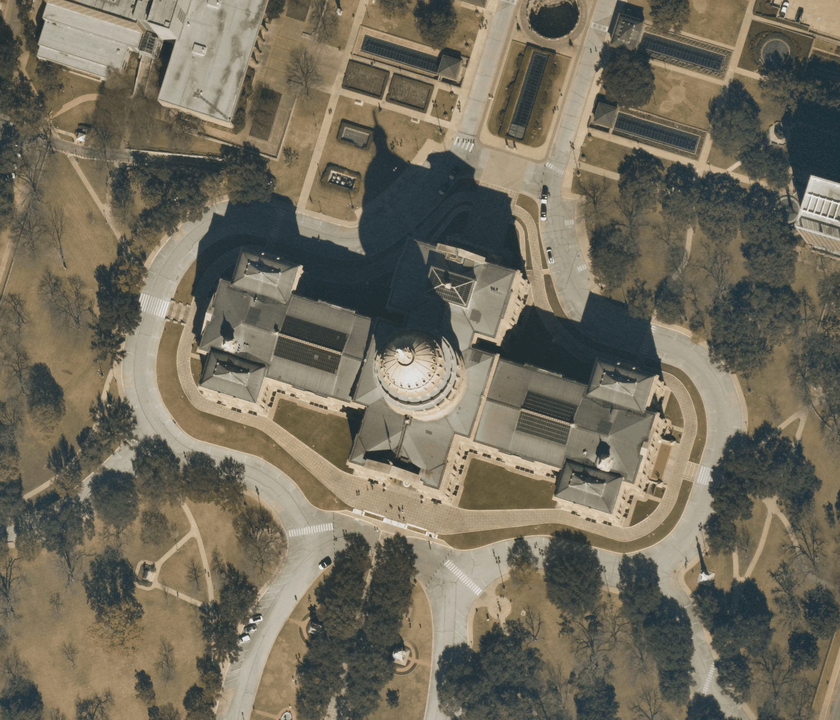
Government
Track urban sprawl and improve city and suburb development. Monitor critical infrastructure, roads and major projects. Protect natural areas.
Actionable insights — when you need them
Easily keep track of changes to critical assets to inform your strategy and improve decision making.
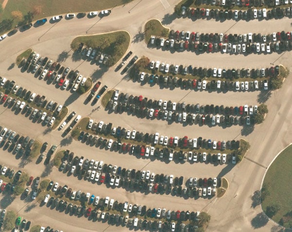
Machine Learning & AI
Easily detect objects and track change for data analysis. Utilize for smart city development, training models, or count cars in a parking lot.
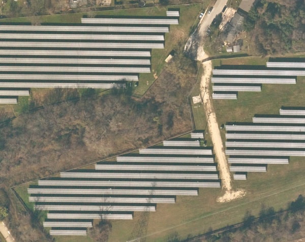
Energy
Plan new infrastructure and oversee project development. Monitor solar panels, oil fields and wind farms. Detect vegetation encroachment and measure environmental impact.
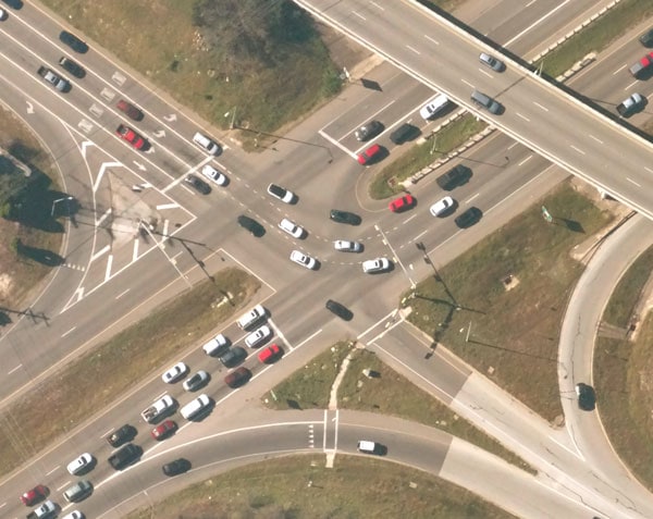
Mobility & Transportation
See road and highway conditions at scale. Build infrastructure, like electric charging stations, for autonomous vehicles and micro mobility. Access updated maps for better navigation. Understand traffic patterns.
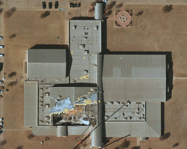
Disaster Response
Assess the impact of tornadoes, flooding, wildfires, hurricanes and other natural disasters with timely delivery of post-event imagery. Enhance emergency preparedness efforts.
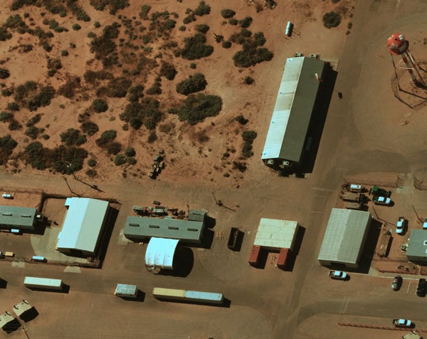
Remote Access & Site Monitoring
Simplify surveys and monitoring of hard-to-reach areas including trails, solar farms, and easements. Monitor construction progress and keep a close eye on the health of dams, bridges, roads, critical infrastructure and supply chains.
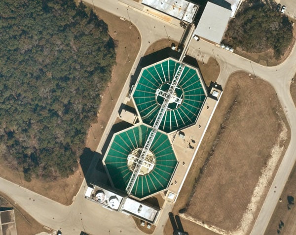
Utilities
Monitor critical assets, including pipelines, roads, water storage facilities and more. Pinpoint vegetation encroachment. Analyze and understand risks.
