Partners:


Related Blog Post:
5 Ways Stratospheric Imagery Can Support President Biden’s Climate Plan
How can our imagery help government organizations?
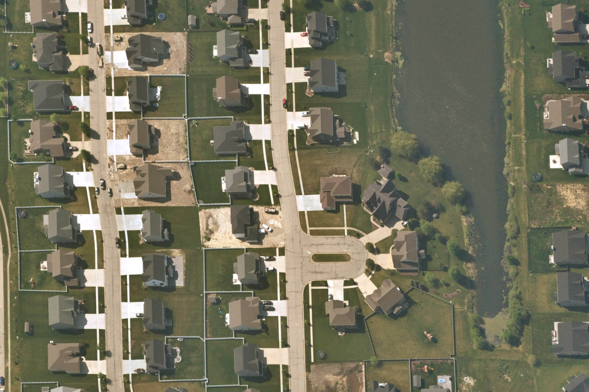
Government departments need right-time, high-resolution imagery to seamlessly and effectively monitor urban growth, optimize traffic routes, develop city plans, and protect natural areas. Since governments work on large ongoing projects, highly accurate and scalable imagery is critical to their work streams. Near Space Lab’s stratospheric imagery solution helps gather data around infrastructure, construction, and city planning.
City Planning & Monitoring Land Use
As urban areas develop, government agencies must keep track of land use patterns, population growth, and public infrastructure to ensure the rate of growth is sustainable. Planning failures can lead to damaging, and sometimes irreversible, risks. Spatial monitoring improves decision making to ensure cities are not built in high-hazard zones.
Near Space Labs collects imagery at up to a daily cadence, which boosts city planning initiatives. Our imagery provides a birds-eye view to help city planners make financial decisions. For example, imagery helps assess the value new roads bring to a city or if local wildlife is at risk for causing financial obligations. These datasets are also used to construct the appropriate environmental and urban development policies.
Machine Learning
Large volumes of imagery provide an invaluable foundation for machine learning and AI models. The data can be used for object detection and also to improve roads and traffic, analyze urban landscapes, count vehicles, and build spatial prediction models. Using this type of automation, government employees can streamline their processes and automate change-tracking.
Tax Assessment
Another essential application for high resolution imagery is enabling tax assessors to monitor how land is being used and undergoing change. For example, assessor’s mapping departments can overlay imagery with property outlines to confirm their legal descriptions and note any existing structures.
Near Space Labs’ solution removes the need to monitor properties on foot, and instead provides a remote and holistic view of an entire area. This saves tax assessors thousands of dollars in transportation and payroll costs. In addition properties that are hard-to-reach, due to locked gates or obstructions, are easily accessible with our Swiftys.
Why is our technology better than other solutions?
Near Space Lab’s zero-emission balloon technology is the only scalable solution that provides frequently updated, high resolution imagery for projects of any size. We can deliver data within days post-collection, eliminating long wait times, either through our API or direct download. This value is beneficial especially in post-disaster assessments where speed is critical, since areas can change significantly even after a few days.
For smaller projects drones are good, however due to short flight times and city regulations, they are not suitable for densely populated areas. In comparison, our Swifty’s cover major cities with only a few flights. Also drones must obtain permit approvals which could delay projects and incur additional costs. Near Space Labs’ balloons fly in the stratosphere, which enables us to capture wide-scale areas without obstructing commercial airspace activities.
Lastly, as we work towards a carbon-free future, Near Space Labs’ innovative, green technology is perfectly suited to help government organizations successfully achieve their sustainability goals.

