Partners:


Related Blog Post:
5 Ways Stratospheric Imagery Can Support President Biden’s Climate Plan
How can our imagery help conservation efforts?
With Near Space Labs’ frequent coverage, conservation groups can track easement properties, identify mining activities, check protected areas, and see reforestation initiatives. Today conservation organizations use boots-on-the-ground efforts to monitor wilderness areas, national parks, nature reserves and easements. This method is inefficient since it requires hours of travel, coordinating on-site logistics, and manual auditing. With Near Space Labs’ imagery solution, you can get a comprehensive view of a large area and reduce the time, energy, and money spent visiting sites. Hard-to-reach and dangerous areas can be easily monitored with our Swifty fleet, ensuring that teams are out of harm’s way.
Imagery metadata allows for workstream automation and easier change-monitoring over time. For example, you can count wildlife populations, monitor habitat restoration, and see tree population growth patterns. Tracking these changes is important because it allows you to identify conservation effort success, enhances decision making, protects land from urban sprawl, and boosts the accuracy of future predictions.
Why is our technology better than other solutions?
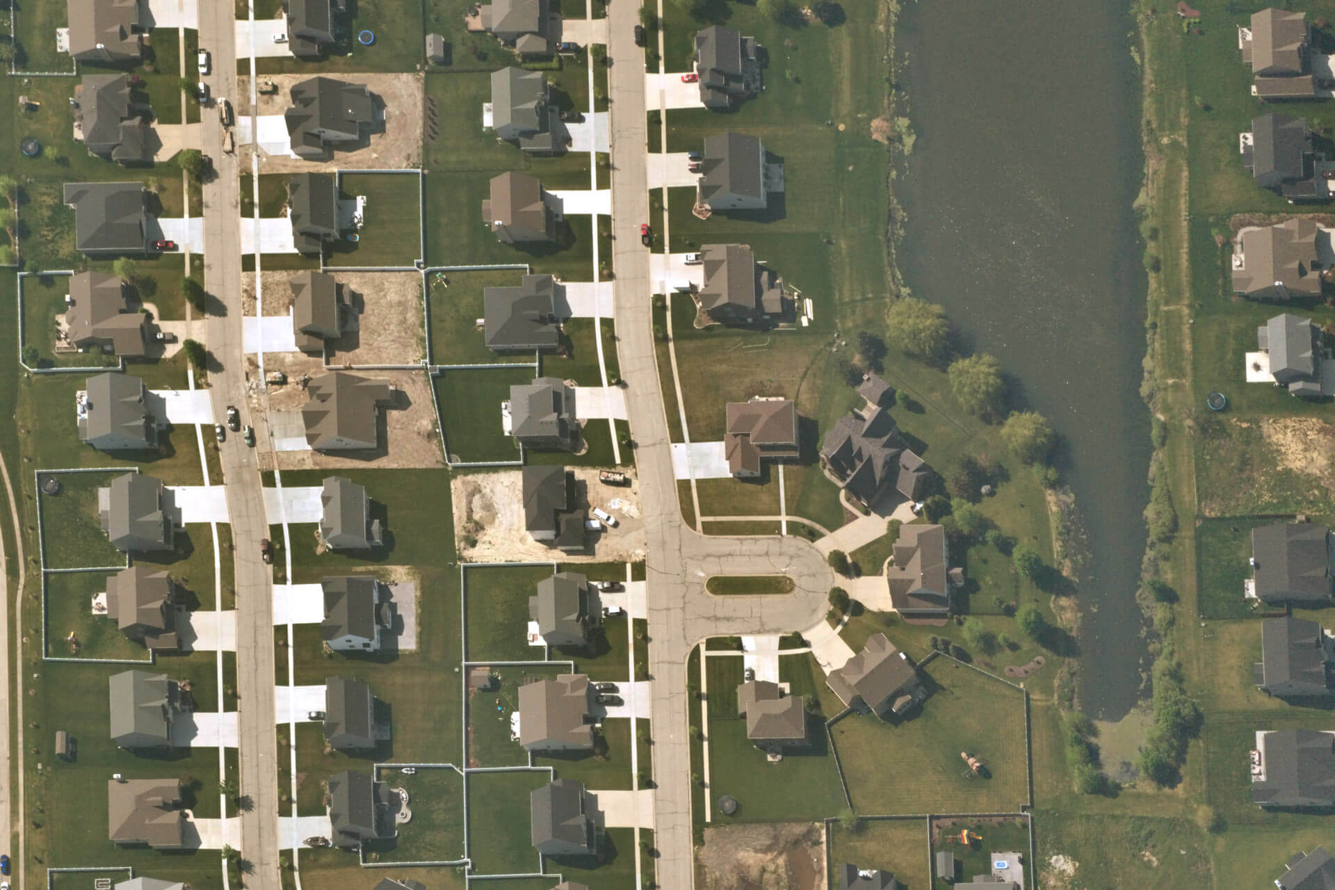
For monitoring and keeping track of conservation areas, frequency is critical. Near Space Labs’ balloons can fly up to five times per day which makes building a robust dataset of imagery – to physically see how land is changing overtime – much easier. Planes on the other hand are unable to frequently cover more remote, rural areas. Since satellites are bound to their orbit, it’s up to chance as to whether they capture an area of interest as they go through a rotation. If there are clouds, tough luck. You are still required to pay for that image. For satellite imagery, often to gain frequency you must compromise on resolution. Multiple captures a day by satellite permits 1m resolution. Near Space Labs’ sub-daily flights achieve a 10 cm resolution where you can see crop rows, landscaping, construction sites and more.
What about drones? Can’t they be flown multiple times a day and provide high resolution images? That is partially true, but drones have their limitations. Surveying drones can only cover an area up to around 500 ha per flight (~5 sq km) before having to land, recharge, and deploy again. Therefore, drones are not efficient or well suited to cover large areas. Near Space Labs’ Swiftys can cover up to 1,000 sq km in a single flight. For comparison, it would take a drone over 200 flights to cover the same area
One of our biggest advantages is that Swifty’s are carbon-free. When we deploy our balloon fleet, we do not put any emissions into the atmosphere. This innovative, green approach to collecting imagery is a benefit other solutions are not able to provide. Planes emit pollutants and satellites become space debris once they are no longer viable.

