Meet the Swift
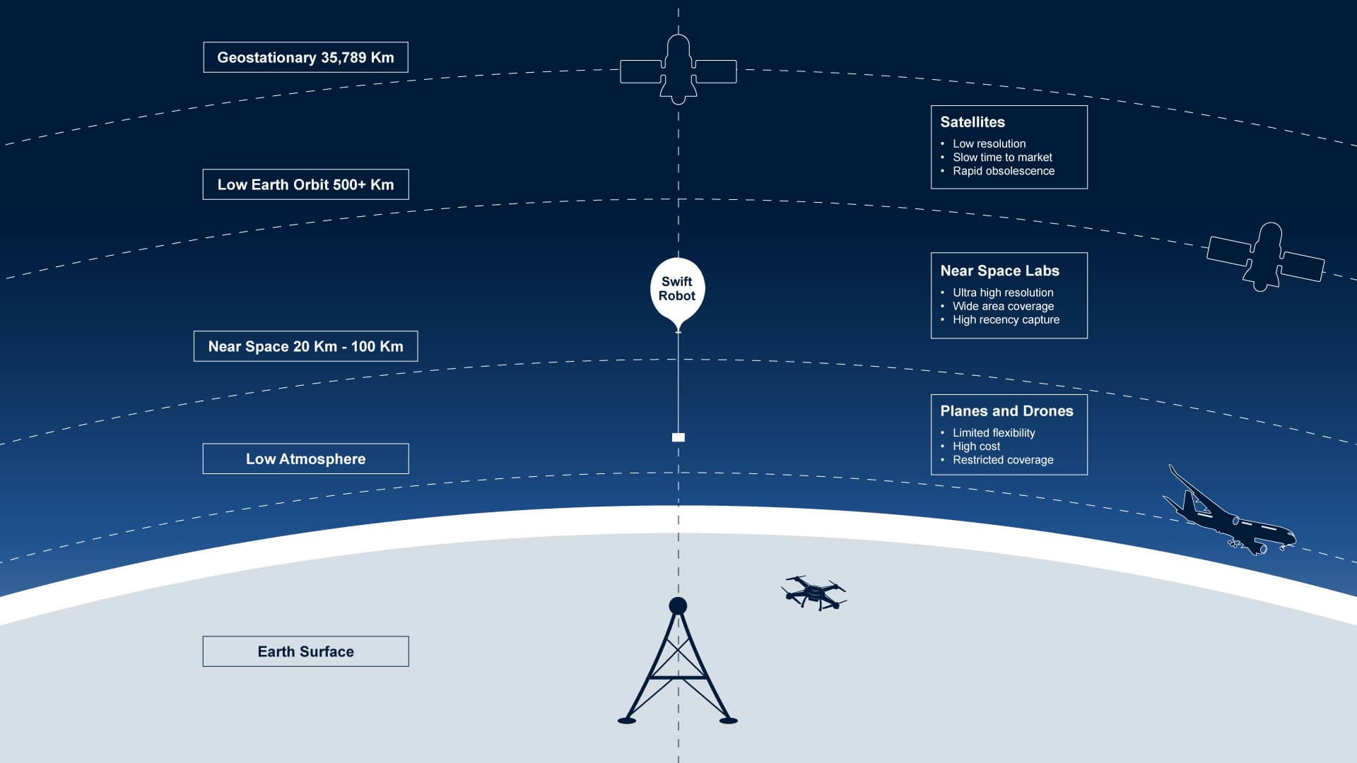
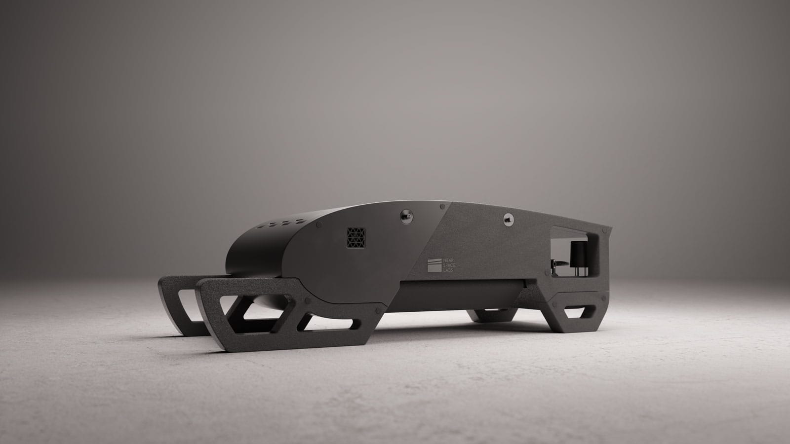
The Swift is our autonomous, zero-emission, high-altitude imaging platform that uses advanced weather balloon technology to access near space.
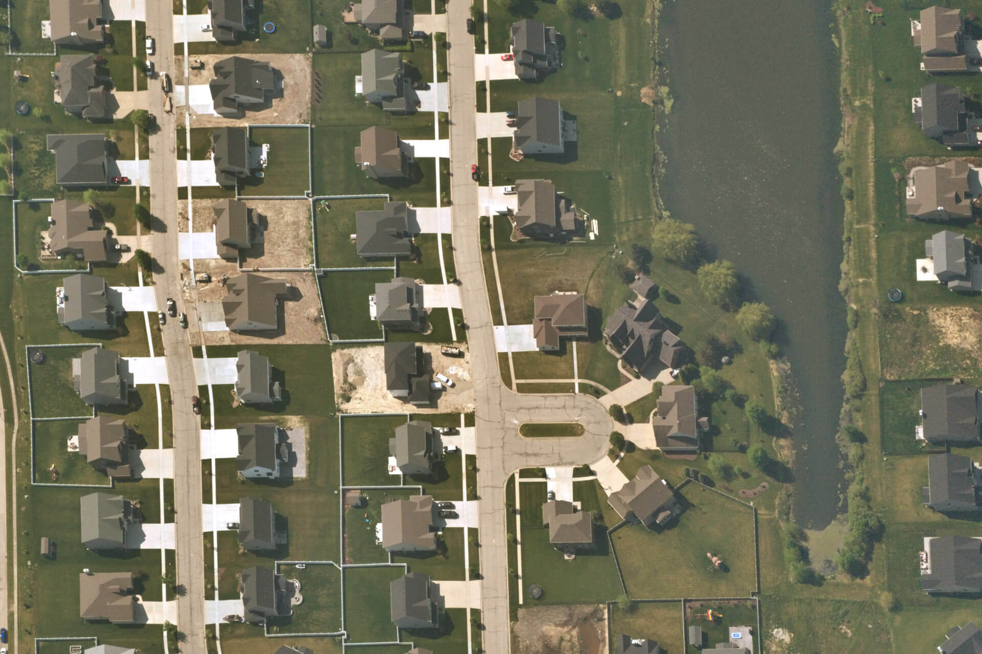
Each Swift mission covers an impressive 400 to 1,000 square kilometers—an area comparable to New York City’s five boroughs—delivering imagery at an ultra-sharp resolution of 7 cm per pixel. Designed with precision and customer needs at its core, Swift offers high-resolution, high-frequency imagery with fully customizable capture capabilities, ensuring premium geospatial data without compromises.

With lower environmental impact and customizable sensors, Near Space Labs Swifts provide a versatile, cost-effective solution for industries requiring real-time ground truth insights—from disaster response to insurance and beyond.

