From a bird’s-eye perspective, cities experience faster rates of change than any other surface on the planet. At Near Space Labs (previously Swiftera), our goal is to image entire cities at the highest possible frequency, without compromising on image resolution. Working as researchers in earth observation before starting our company, we found that there are tradeoffs with current earth imaging technologies. Satellites cover most of the planet and the largest constellations can offer up to daily frequency, but only at poor resolutions and high resolution satellites are very infrequent. Planes and drones can obtain high resolution, but frequency and coverage areas are an order of magnitude smaller. We decided these tradeoffs were unacceptable and set out to create a better solution.
In between the range of altitudes where aircraft and spacecraft fly, there’s an infrequently used gap available for remote sensing: the stratosphere a.k.a. near space. The stratosphere spans in altitude from 50–165 thousand feet (typical airliner flies at 30 thousand feet). It is too low for satellites to orbit, and the air is too thin for most airplanes; the planes that can fly in near space are very expensive. That’s why this region has mostly been home to meteorological and other research balloons until now.
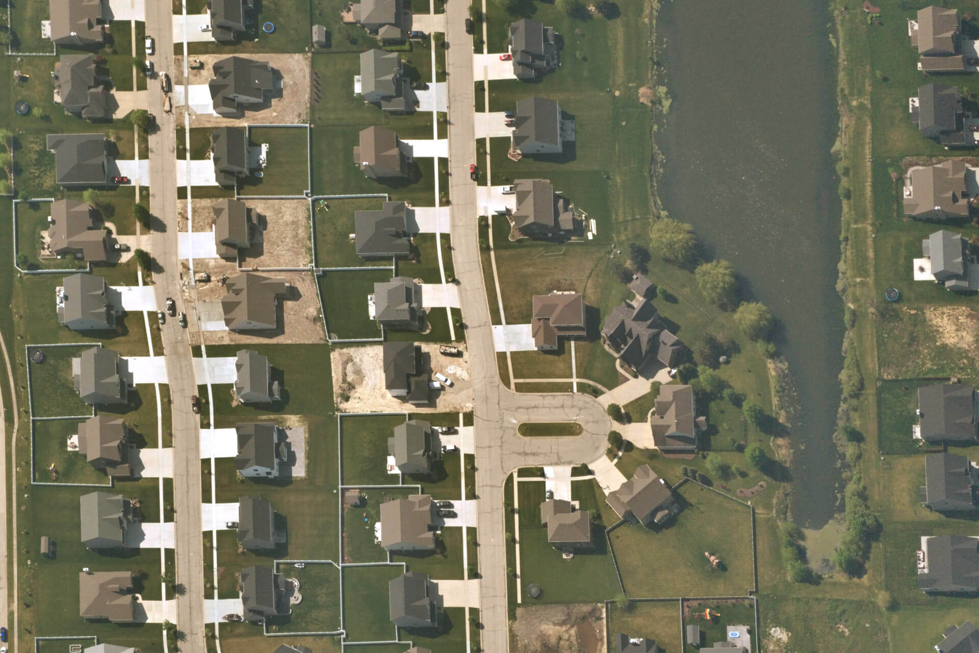
Our balloons — we call them Swifts — are small and lightweight, yet equipped with very high resolution optics. From the vantage point of the stratosphere we can cover a city in a single flight. After a flight, we automatically process all the data and upload it to the cloud, so you can access it only hours after it was captured. These technologies are foundational to our mission at Near Space Labs: to deliver high-resolution, daily imagery of all major cities worldwide — at a lower cost than any existing provider.
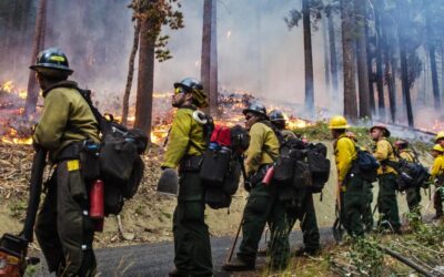
From cars in parking lots to trucks for logistics and retail, from infrastructure to housing developments, from wildfires to floods–the verticals we serve are diverse, but their needs are common: to see change and see it in detail. We are poised to democratize high resolution aerial imagery by making it accessible, flexible, and frictionless for all. We believe our data will provide the next cognitive shift in how humanity understands its surroundings.
If you’re interested in getting free access to city-scale, very high resolution imagery, sign-up here.


